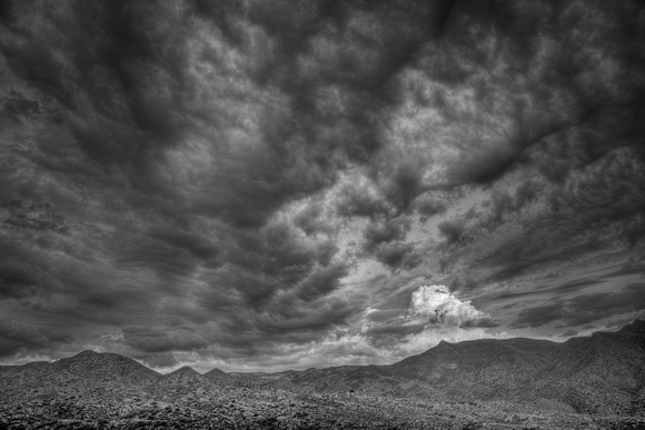
Clouds
Superstition Wilderness
Wi:kchsawa
IUCN category Ib (wilderness area)
SUPERSTITIONS AZ15.jpg
Praying Hands Formation
Location Maricopa / Pinal / Gila counties, Arizona, USA
Nearest city Apache Junction, Arizona
Coordinates 33°28′41″N 111°14′20″WCoordinates: 33°28′41″N 111°14′20″W
Area 159,757 acres (64,651 ha)
Established 1939
Governing body U.S. Forest Service
Miners Needle from Bluff Spring Trail. Note prominent bedding planes in the volcanics.
The Superstition Mountains (Yavapai: Wi:kchsawa), popularly called "The Superstitions," is a range of mountains in Arizona located to the east of the Phoenix metropolitan area. They are anchored by Superstition Mountain, a large mountain that is a popular recreation destination for residents of the Phoenix, Arizona area.