Thank you for your patience while we retrieve your images.
Taken 5-Dec-15
Visitors 25


40 of 53 photos
Thumbnails
Info
Photo Info

Dimensions3840 x 5760
Original file size20.5 MB
Image typeJPEG
Color spaceAdobe RGB (1998)
Date taken5-Dec-15 10:50
Date modified27-Aug-18 08:06
Shooting Conditions

Camera makeCanon
Camera modelCanon EOS 5D Mark III
Focal length16 mm
Max lens aperturef/2.8
Exposure2.5s at f/22
FlashNot fired, compulsory mode
Exposure bias0 EV
Exposure modeManual
Exposure prog.Manual
ISO speedISO 100
Metering modePattern
East Aravaipa Canyon-67

East Aravaipa Canyon-67

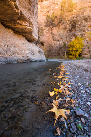
Aravaipa Canyon Wilderness is a 19,410 acres (7,850 ha) wilderness area located in the U.S. State of Arizona. It forms the northwest border of the Galiuro Mountain range. The wilderness is administered by the BLM and is located northeast of Mammoth, Arizona in Graham and Pinal counties, about 120 miles (190 km) southeast of Phoenix. The wilderness includes the 11-mile (18 km) long Aravaipa Canyon, the surrounding tablelands and nine side canyons.