Fish Creek sycamore saguaros, Superstition
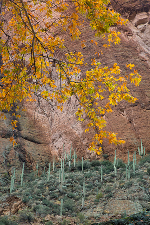
The jagged Superstition Mountains and adjacent ranges, due east of Phoenix in central Arizona, have many steep, narrowish canyons amongst great expanses of sharp, eroded, igneous rock with several peaks over 4,000 feet and a dense covering of saguaro cacti. One particularly fine canyon is formed by Fish Creek, a lengthy drainage that flows from the center of the mountains in a north-westerly direction towards the Salt River, joining it just below Apache Lake. Downstream: Fish Creek crosses AZ 88, the Apache Trail, 2 miles east of the point where the surface becomes unpaved, and about 25 miles from Apache Junction; there is no signpost but it is easily recognised as the road descends steeply along the edge of a deep ravine, and crosses the streamway on quite a high bridge. From this point, about one third of the creek is downstream (north) and can be explored by scrambling down and walking along the canyon floor, which has flowing water at certain times each year, usually during spring and after the flash floods of late summer. Occasional pools and boulders provide only minor obstacles and this hike is relatively easy. The lower section may also be reached by FR 80, a side road that links the Apache Trail with Horse Mesa Dam at the head of Apache Lake.