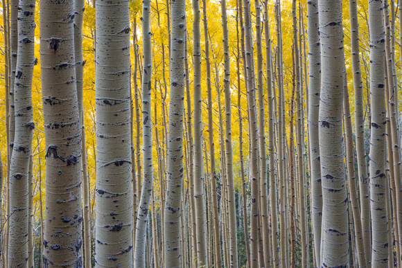
Waterline Trail Aspen Glow
The Waterline Trail begins at the heart of Schultz Pass, traverses the northeast slope of the San Francisco Peaks into the Inner Basin and then continues north and northwest to Abineau Canyon. The views include the volcanic fields east of Flagstaff, Sunset Crater, the Painted Desert and the Grand Canyon ninety miles away. This old road (also known as the Watershed Road) runs along the base of a long talus slope topped by Arizona's highest point, Humphreys Peak. The southern portion of the road borders the Kachina Peaks Wilderness and from the Inner Basin to the Abineau Trail both sides of the road are Wilderness. Remember the trail itself is open to all non-motorized use (foot, horse, bicycle), but no mechanized vehicles, including mountain bikes, are allowed in Wilderness.