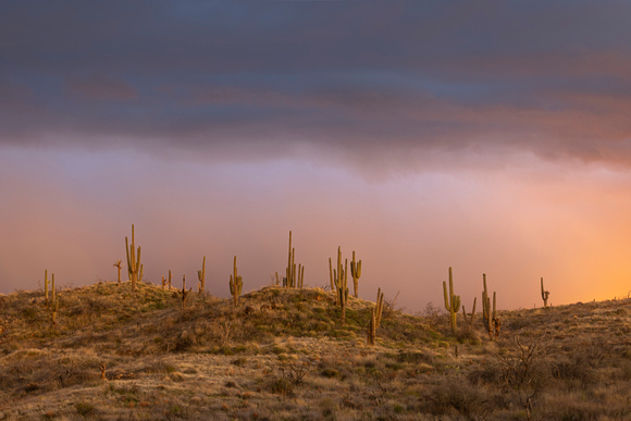
Four Peak Sunset light
Four Peaks (Yavapai: Wikopa[1]), at 7657 feet (2335 m) in altitude, is a prominent landmark on the eastern skyline of Phoenix, part of the Mazatzal Mountains. It is located in the Tonto National Forest 40 miles (64 km) east-northeast of Phoenix, in the 60,740-acre (245.8 km2) Four Peaks Wilderness. On rare occasions, Four Peaks offers much of the Phoenix metro area a view of snow covered peaks, and is the highest point in Maricopa County.