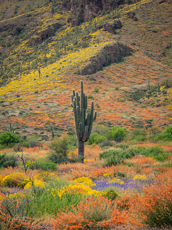
Tonto National Monument Spring_005
Tonto National Monument, cliff dwellings located in the Tonto Basin of southeastern Arizona, U.S. They lie 110 miles (175 km) east of Phoenix, in Tonto National Forest. Between about AD 1150 and 1400, the Salado people—a farming culture named for the Rio Salado (Salt River), which flows through the valley—established permanent apartment-style residences by constructing clay walls in shallow, naturally eroded alcoves within the hillsides. Ranchers and soldiers came upon the ruins in the 1870s, and in 1907 President Theodore Roosevelt proclaimed the site a national monument. Tonto is a Spanish word meaning “fool.”


