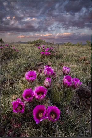
Srawberry Hedgehog, Banhardt Trail_001
Barnhardt Trail is considered to be one of the "expressways" to the Mazatzals. It starts at Barnhardt trailhead and proceeds westward to the ridge of the Mazatzal range or "Divide" where you intersect the N-S Mazatzal Divide Trail, which is part of the Arizona Trail. It's considered an expressway in that it connects up with numerous other trails in the system that could keep a backpacker busy forever. One note of warning, however, the trails are many and can be confusing. The Mazatzal Peak topo quad shows trails that no longer exist and doesn't offer many that do. Many of the ones that are shown are misnamed. Here's your best bet if you want to get a decent handle on this area: The Forest Service office in Mesa has a nice plasticized Mazatzal Wilderness map that shows all the numbers with the names on the back. Check out the Official Route too. Put the two together, shake well, add a pinch of luck, and you're on your way (remember: author not to be held responsible for resulting chaos:).