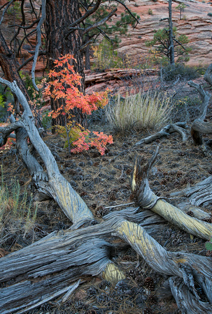
Maples and Pines
CHECKERBOARD MESA
Highway 9 cuts right through the heart of Zion National Park. The road from the Park's south entrance to the east Entrance is 12 miles. After you enter the Park from the south entrance, you travel past the visitor center and the Zion Human History Museum. The road then follows the Virgin River until you reach the Zion Canyon Road (which is not accessible by car between April and October- shuttle required). From this point the highway winds up a series of switchbacks as you climb over 1,000 feet to the top of the canyon. Several pull outs are available for stopping and taking photos. As you reach the top of the canyon, you enter the Zion-Mount Carmel Tunnel.


