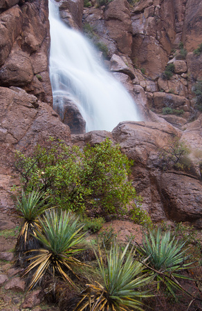
Apache Leap Falls
“How Apache Leap Got Its Name,” published by the Arizona Highways in August 1935, James M. Barney explicitly mentions the dwelling of the Apaches in the region surrounding Apache Leap, located in southeastern Arizona near the town of Superior.
He writes, “That portion of present-day Arizona, lying between the Gila River and the Mogollon Rim and east of the Verde River, was, in olden days, one of the worst Apache-fested regions in the entire southwestern country.”
He continues, “It was an ideal hunting grounds for the aboriginal tribes that dwelt within its confines — before the coming of the white man whose advent always presages ruination for valley, stream and woodland.