Thank you for your patience while we retrieve your images.
Taken 22-Jul-23
Visitors 0


6 of 53 photos
Thumbnails
Info
Photo Info

Dimensions2625 x 3500
Original file size52.6 MB
Image typeTIFF
Color spaceAdobe RGB (1998)
Date modified22-Jul-23 09:20
Shooting Conditions

Camera makeOLYMPUS CORPORATION
Camera modelE-M1MarkII
Focal length10 mm
Focal length (35mm)20 mm
Max lens aperturef/2.8
Exposure1/800 at f/4
FlashNot fired, compulsory mode
Exposure bias0 EV
Exposure modeManual
Exposure prog.Manual
ISO speedISO 200
Metering modePattern
Digital zoom1x
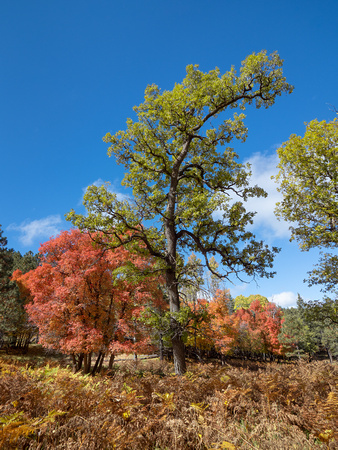
Mogollon Rim Fall 2022_140

Mogollon Rim Fall 2022_140

The Mogollon Rim is a topographical and geological feature cutting across the northern half of the U.S. state of Arizona. It extends approximately 200 miles, starting in northern Yavapai County and running eastward, ending near the border with New Mexico. It forms the southern edge of the Colorado Plateau in Arizona.