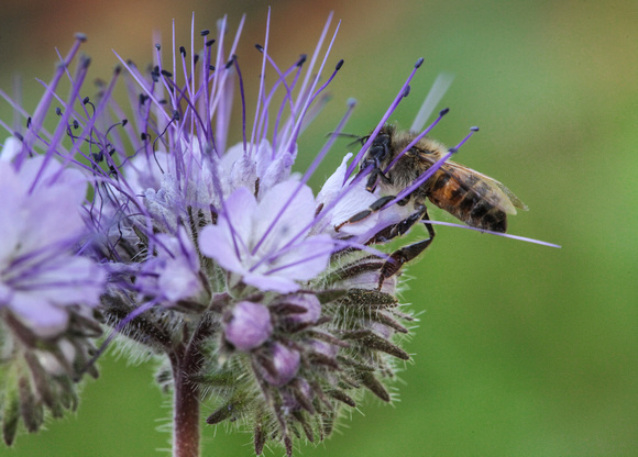
bee scorpionweed-92
North Trail in the McDowell mountain regional park. The 2.9-mile trail loops through a particularly verdant section of McDowell Mountain Regional Park, giving hikers an idea of what much of the region looked like before the Rio Fire swept the area in 1995.
The hike begins off Asher View Drive in the northeastern corner of the 21,099-acre park. Head west, then bear right at the fork in the trail about 125 yards from the trailhead.
About two-dozen signs along the way provide self-paced lessons in desert botany. Along with such well-known plants as creosote, barrel cactus, saguaro, ironwood, jojoba and paloverde, you'll see less familiar plants, such as desert mistletoe and Christmas cholla.


